
The examiners may ask simple questions from of the following units (details are given in the Practical
Manual in Geography).
a. Map and its Elements
1. What is map and its elements?
Ans : Map Elements. Most maps contain the same common elements: main body, legend, title, scale and orientation indicators, inset map, and source notes. Not all are necessary or appropriate for every map, but all appear frequently enough that they’re worth covering.
2. What are the three essential elements of a map?
Ans: There are three Components of Maps – distance, direction and symbol.
3.Explain importance of north arrow.
Ans. A north arrow (sometimes also called a compass rose) is a figure displaying the main directions, North, South, East and West. On a map it is used to indicate the direction of North.
b. Map Interpretation
1. What is map interpretation?
Ans: Special attention given to the study of physical and cultural geography as portrayed on large scale topographic maps. Emphasis on the relationship between the environmental setting and human activities, surveys and boundaries, transportation, urban and rural settlement and land use, and place names.
2. Why do we need to interprete map?
Ans: Maps don’t just help us get from place to place. They help us understand Earth and how its physical processes and features can shape human activity and vice versa.
3. How many types of map projections are there?
Ans: Three of these common types of map projections are cylindrical, conic, and azimuthal.
4. What are the features of a map?
Ans: Most maps will have the five following things: a Title, a Legend, a Grid, a Compass Rose to indicate direction, and a Scale.
c. Statistical Diagrams
1. What are the different types of statistical diagrams?
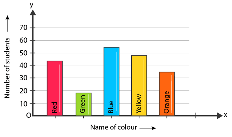
Ans: The various types of statistical diagrams include Bar diagrams, pie diagrams, histograms, polygons, ogive and graphs. The geometric form of diagram presentation includes bar and pie diagrams.
2. What are the uses of diagrams?
Ans: A diagram is essentially a picture that communicates information. You can often explain statistical data and other important information, like how a particular system functions, quickly and with less of a strain on resources. Using a diagram is more effective than a narrative-based process.
3. What graph do you use for statistics?
Ans: The four basic graphs used in statistics include bar, line, histogram and pie charts.
4. Which is the tallest mountain in the world?
Answer: Mount Everest
5. Which is the latitude that runs through the centre of the Earth?
Answer: Equator
6. What are the names of the 5 oceans of the world?
Answer: Indian Ocean, Southern Ocean, Atlantic Ocean, Pacific Ocean, and Arctic Ocean
7. Which country has the highest population?
Answer: China
8. Which is the longest river in the world?
Answer: The Nile, Africa
9. Which is the largest waterfall in the world?
Answer: Victoria Falls
10. Which is the largest desert in the world?
Answer: Sahara Desert
11. What are the branches of a river called?
Answer: Tributaries
12. Which is the largest island in the world?
Answer: Greenland
13. What heats the water in a hot spring?
Answer: Magma
14. Which is the coldest continent in the world?
Answer: Antarctica
15. Which is the world’s smallest country?
Answer: Vatican City
16. Which is the world’s largest port?
Answer: Port of Shanghai
17. Which is the largest country in the world?
Answer: Russia
18. Which country has the largest population in the world?
Answer: China
19. What are the names of the five oceans?
Answer: Pacific, Atlantic, Indian, Arctic and Southern
20. How many states of India share its border with Bhutan?
Answer: 4 states (Arunachal Pradesh, Assam, West Bengal & Sikkim)